LOS ANGELES, CALIFORNIA – September 9, 2021
ENGINEERING REIMAGINED… ILLUMINATING THE LUMEN!
ENGINEERING + GEOSPATIAL TECHNOLOGY = ACCURATE AS-BUILTS

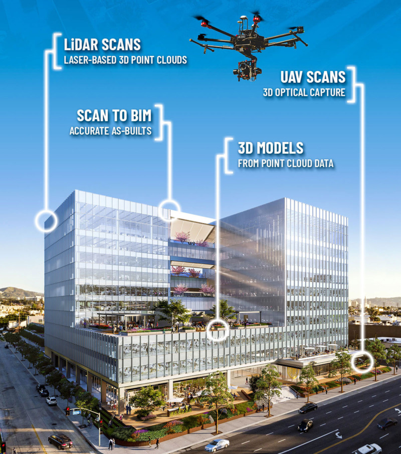
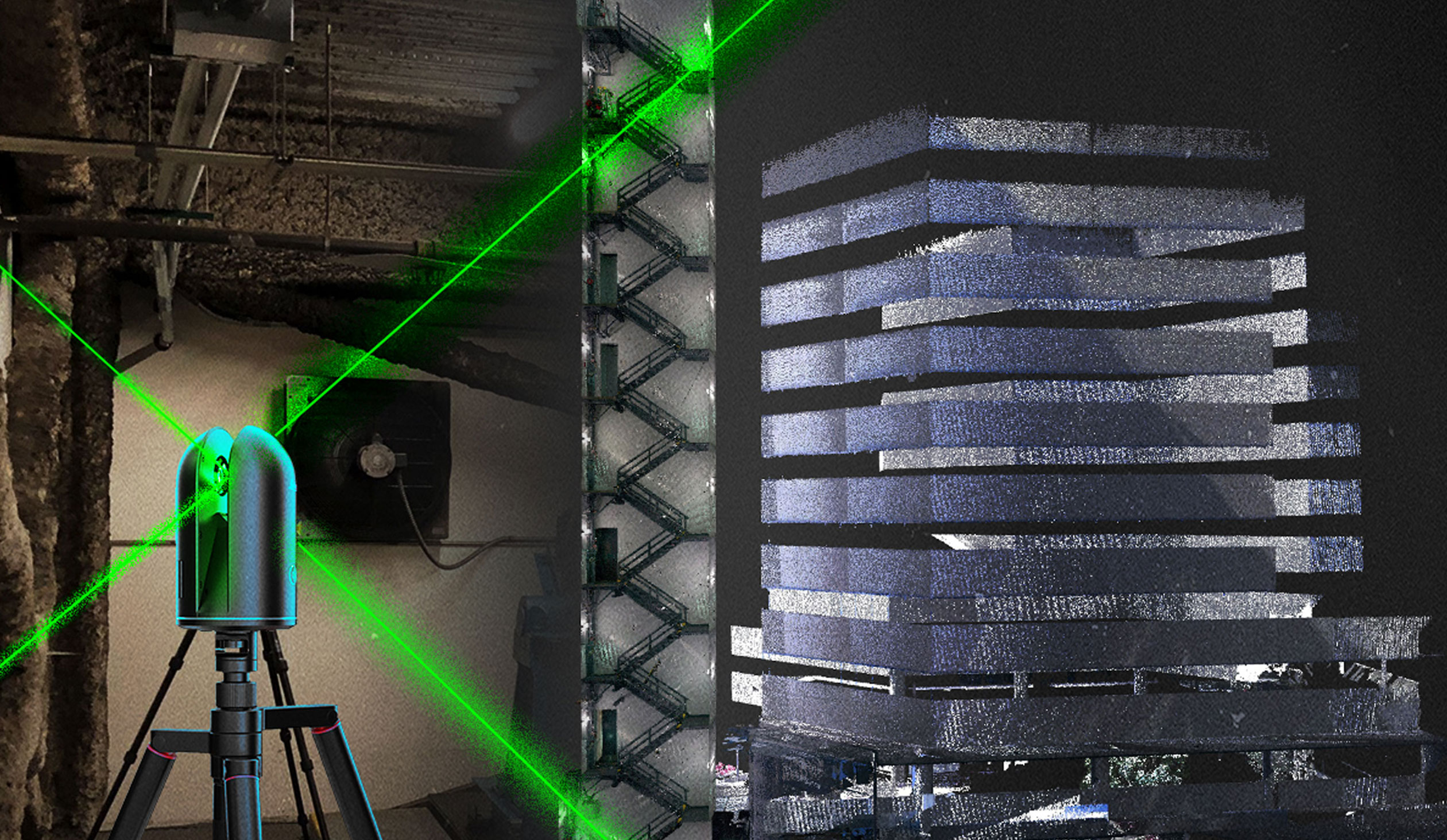
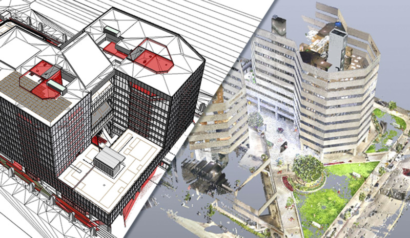
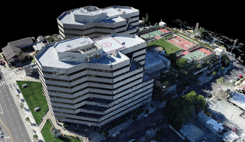
The massive 600,000SF commercial office redo and expansion in Los Angeles represents a new breed of development: the high-tech, amenity-rich Experiential Office Campus. This reimagined, full city-block project integrated Fuscoe’s geospatial technology services to streamline the LUMEN’s architectural and engineering design for informed decision-making. Fuscoe’s UAV aerial surveys and LiDAR scans enabled the design team to convert 3D point cloud data into accurate as-built drawings, 3D models, videos, animations and more.
Project Management Team
Andy Willrodt, PE
Principal/Regional Manager, Los Angeles
Project Team
McCarthy Cook
Hathaway Dinwiddie
Gensler
For additional information please contact:
Robin Robinson
Principal/Director of Marketing
rrobinson@fuscoe.com
949.474.1960


